
Leicester was one of the cities which saw an early spike in cases and had to return into Lockdown when other areas of the country were able to open further businesses. One of the key issues when people identify a region is where it ends and begins. Boundaries are important here.
Those just beyond a nominal (and invisible) line were able to carry on as normal. Was the risk really reduced so much by taking an extra pace away from the centre of Leicester? Did the map need to be more fine grained?
When a map was finally released, it was pointed out that there were quite a few issues with it.
In the end, a report had to take many pages to identify what was meant on this occasion by "Leicester".
It takes pages and pages to define a city it seems...
Are these definitions in place for future lockdowns?
If you live on the edge of Leicester, when would you think the city ended?
Those just beyond a nominal (and invisible) line were able to carry on as normal. Was the risk really reduced so much by taking an extra pace away from the centre of Leicester? Did the map need to be more fine grained?
When a map was finally released, it was pointed out that there were quite a few issues with it.
In the end, a report had to take many pages to identify what was meant on this occasion by "Leicester".
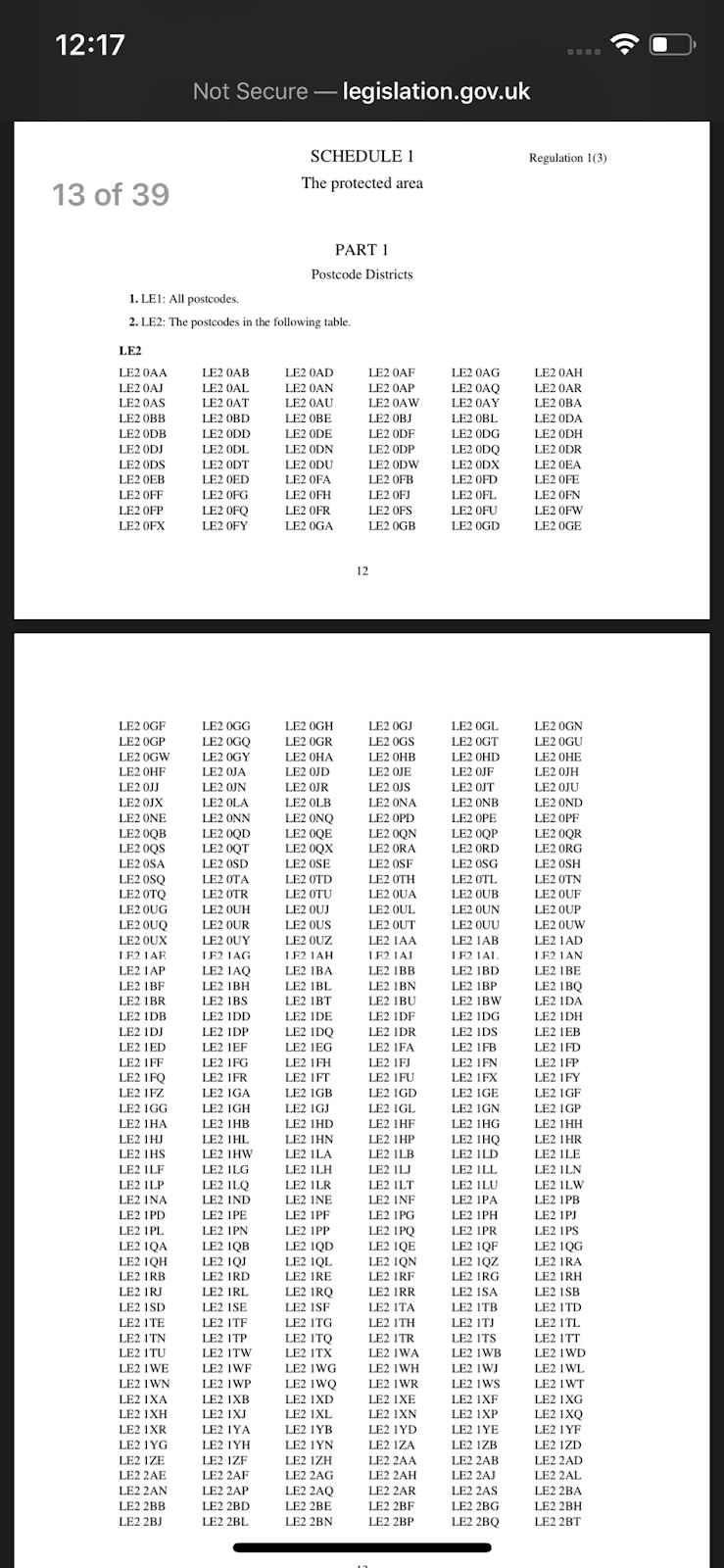
It takes pages and pages to define a city it seems...
Are these definitions in place for future lockdowns?
If you live on the edge of Leicester, when would you think the city ended?
Comments