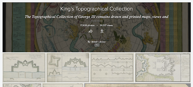
A new addition to the Flickr account of the British Library is a new album of over 17 000 images.
They are scans of images from King George III's 'Topographical Collection' and includes imagery and mapping - there are some gems in here, including pictures and other imagery.
For example, look at this image of Sidmouth from 1815 - as a regular visitor it's lovely to see some familiar buildings and also the cliffs behind, which have no doubt moved substantially back from this time:
Click to see full size image.
Title: "[Sidmouth, Devon] "
Author(s): Havell, Robert
British Library shelfmark: Maps K.Top.11.93.b.1.
Place of publication: [Sidmouth and London]
Publisher: Published July 1 1815 by John Wallis Jnr & in London by J&E Wallis 42 Skinner Street and R. Ackermann, Repository of Arts, Strand.,
Date of publication: [July 1 1815]
Item type: 1 print
Medium: aquatint and etching with hand-colouring
Dimensions: sheet 39.2 x 94.8 cm
Former owner: George III, King of Great Britain, 1738-1820


Comments