GeoFolio has been mentioned in a previous blog post, and if you haven't had a look at the site and generated a report for an area close to home, then I suggest you go and try it out right now.
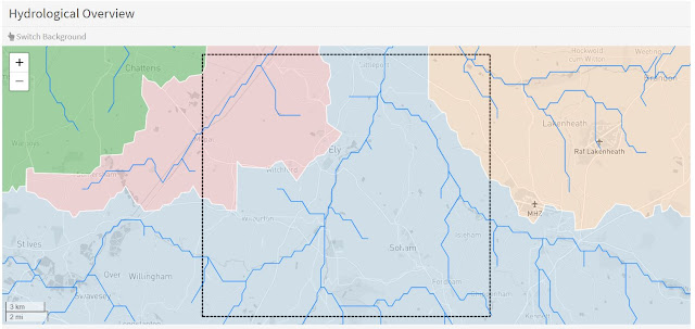
I generated a report for the area around Ely and it contains some excellent and useful information on the landscape, soils and hydrology of the area. I like the way that it shows watersheds of each river which flows through the selected areas, shown in different colours. Useful for letting students see how rainfall which lands in particular villages near to each other will actually end up being drained away in very different directions.
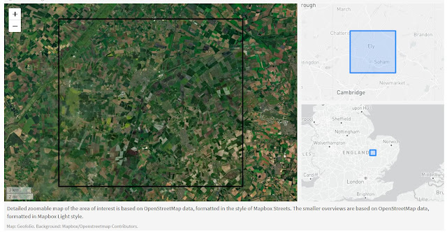
Some other elements from the Ely report I generated:


Comments