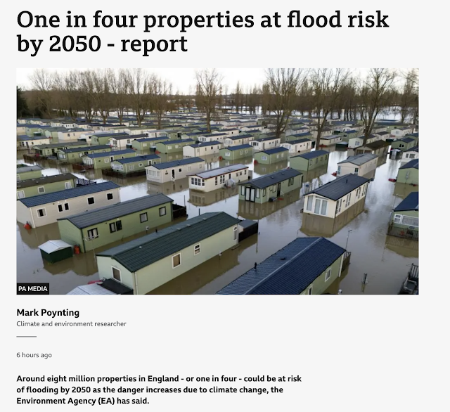
According to this BBC report a report from the Environment Agency suggests that as many as one in four properties could be at risk of flooding by 2050.
This is not necessarily increased because of more river and coastal flooding, but due to an increased risk of surface water flooding: due to more extreme rainfall events and changing urban infrastructure (as well as new homes being built on floodplains...)
From the press release:
The data shows that a total of 6.3 million properties in England are in areas at risk of flooding from one or a combination of rivers, the sea and surface water.Around 4.6 million of those properties are in areas at risk of flooding from surface water, where there is so much rainwater that drainage systems are overwhelmed, causing surface water runoff, also known as flash flooding. This is a 43% increase on the Environment Agency’s previous assessment. These changes are almost entirely due to significant improvements in the Environment Agency’s data, modelling and use of technology providing a more accurate assessment of surface water flood risk.
Around 2.4 million properties are in areas at risk of flooding from rivers and the sea. While the total number of properties at risk is not increasing, there is an 88% increase in the number of properties at the highest levels of risk, where an area has a greater than one in 30 chance of flooding in any given year. There are a variety of reasons for this change in risk, the most notable being improved data and modelling methods for assessing the likely frequency of flooding.
The report can be accessed from this Press Release on the Environment Agency page.
I am fairly happy with the positioning of my own house with respect to flood risk. Touch wood.
Also keep an eye out for some more updates in early 2025 from the Environment Agency
The Environment Agency will also update its digital services in early 2025, the key one being Check your long term flood risk for an area in England. This service is used by the public to identify the long-term flood risk for their area.In spring 2025, the Environment Agency will update its Flood map for planning, used by planners and developers to find the data they need to undertake a flood risk assessment for a planning application.


Comments