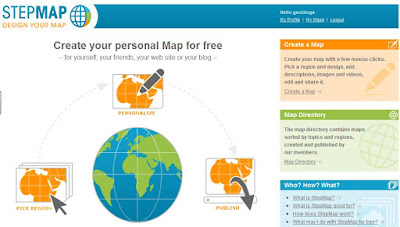
Have spent part of today making a guide to using this website, and am discovering even more features as I work through it.
Has a whole host of weather symbols, so could make a weather map...
There are also options to choose a whole range of maps in different colours, with outlines,
shading and backgrounds.
You can even choose to have an image as the background to the map: your face in the shape of a country of your choosing, or a map to show a person or item that is associated with a country.
Other symbols include sets of arrows in various directions and (like Google Earth) custom icons can also be used
Some example to follow perhaps...
Give it a go...
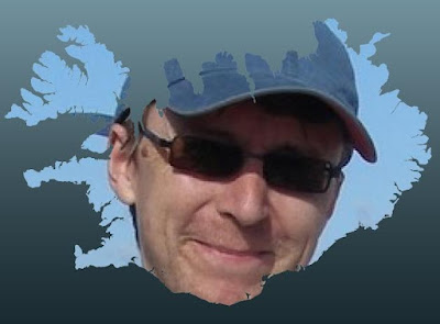
Here's something I produced for my new NICELAND ICELAND blog.
Comments